Monday, January 30, 2023
  • About us
    • Write for us
    • Disclaimer
    • Terms of use
    • Privacy Policy
  • RSS Feeds
  • Advertise with us
  • Contact us
DefenceTalk
  • Home
  • Defense News
    • Defense & Geopolitics News
    • War Conflicts News
    • Army News
    • Air Force News
    • Navy News
    • Missiles Systems News
    • Nuclear Weapons
    • Defense Technology
    • Cybersecurity News
  • Military Photos
  • Defense Forum
  • Military Videos
  • Military Weapon Systems
    • Weapon Systems
    • Reports
No Result
View All Result
DefenceTalk
No Result
View All Result

Space team improves GPS capability for warfighters

by Air Force News Agency
March 11, 2011
in Technology News
3 min read
0
Space Command Officials Exceed GPS standard
14
VIEWS

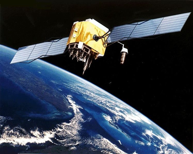
Joint force warfighters around the globe will soon be able to assess real-time and future GPS accuracy, both where they are and where they’re going, with a new capability developed by the 2nd Space Operations Squadron’s Global Positioning System User Operations team here.

The new capability uses the Google Earth software application to display data supplied by the GPS Operations Center for warfighters on the ground in places like Afghanistan.

Chaz Bowman, the GPSOC program manager, calls it an innovation that could be limitless for users once it is deployed.

It jumps way beyond the situational awareness tools warfighters are currently using, said Capt. Bryony Veater, the 2nd SOPS weapons and tactics flight commander.

“Right now, users must view slides and other similar forms of displays to extrapolate the scenario they are looking for, whereas this tool lays everything on one viewable screen, ” Captain Veater said. “It even displays the terrain warfighters will need to traverse during their operation.”

The new capability also creates a one-stop shop for ground-force mission planners who are looking for different forms of GPS core data.

“Until now, users would have to visit up to five or six different (secure) websites to obtain the GPS data they need,” Mr. Bowman said. “Once we launch this capability, those same users will follow a link we send them once, and from then on, they’ll be able to see what they need from GPS in one viewing.”

Both Captain Veater and Mr. Bowman work as part of the GPS user operations team, which can be thought of as a 911 call center for military GPS user emergencies. The GPSOC provides vital data to GPS users in real time and though it was designed to primarily support military user, staff members also answer questions for civilians and Federal Aviation Administration officials.

“We are user support,” Captain Veater said. “We’re focused on what the user needs to get the job done. Our only job is to make sure the user has what they need to operate with and through GPS.”

Jordan Scott, a former Army captain and GPSOC contractor, conceived the idea for the new capability after returning from a deployment in Afghanistan this past summer. Once he relayed the concept, the GPSOC team went about innovating and modifying software to make it compatible with Google Earth software. They began testing in preparation for product launch roughly three weeks ago, and Mr. Bowman said he believes the capability could be operational in a few weeks.

This innovation is so new that team members haven’t even thought of a name for it, yet 2nd SOPS leaders say it holds clear and obvious advantages over previous situational forms of information.

“This new tool gives 2nd SOPS unprecedented situational awareness when assisting users in theater,” said Lt. Col. Mike Manor, the 2nd SOPS director of operations. “The particular capability provides our team with a real time visual of the terrain and the GPS accuracy a unit is experiencing when they call for GPS- related assistance. The Google Earth picture is definitely worth a thousand words, and this tool basically eliminates the guess work when trying to understand the current situation our users are experiencing.”

According to Mr. Bowman this product launch represents the first time GPSOC has placed information on Google Earth, or any common operating picture.

“It really means that we can now put tools in the hands of the warfighter and it is limitless as to what we can give them now,” Mr. Bowman said. “He no longer has to go multiple places to find a piece of information. When he clicks on his operating picture and he wants to see GPS, he simply clicks on the GPSOC core.”

Tags: GPSnavigationsatellitespacewarfighter
Previous Post

Marines Declare AH-1Z Cobra Operational

Next Post

Combat Diver Qualification Course challenges Special Forces

Related Posts

Hackers could shut down satellites – or turn them into weapons

Airbus to provide satellite communications for Belgian Armed Forces

January 25, 2023

Airbus has signed a contract with the Belgian Ministry of Defence to provide tactical satellite communications services for a 15...

US Air Force and Microsoft partner to empower airmen with modern IT

US DoD Names Vendors to Provide Joint Warfighting Cloud Capability

December 15, 2022

The Defense Department awarded contracts to four technology companies to provide services in support of its Joint Warfighting Cloud Capability....

Next Post
Combat Diver Qualification Course challenges Special Forces

Combat Diver Qualification Course challenges Special Forces

Latest Defense News

India approves purchase of 33 Russian fighter jets

Two Indian military jets crash, one pilot killed

January 30, 2023
China made third-largest air incursion this year, says Taiwan

Senior US general warns of possible looming war with China

January 28, 2023
French Air Force Mirage 2000 jet fighter

France could meet Ukraine’s demand for fighter jets

January 27, 2023
Denmark in talks with Israel to replace howitzers donated to Ukraine

Denmark in talks with Israel to replace howitzers donated to Ukraine

January 27, 2023
Israel, Gaza militants trade missiles after deadly West Bank raid

Israel, Gaza militants trade missiles after deadly West Bank raid

January 27, 2023
Leopard tanks to arrive in Ukraine around late March: Germany

Leopard tanks to arrive in Ukraine around late March: Germany

January 27, 2023

Defense Forum Discussions

  • Turkish navy
  • NATO
  • The Russian-Ukrainian War Thread
  • Royal Australian Air Force [RAAF] News, Discussions and Updates
  • Royal Australian Navy Discussions and Updates 2.0
  • Australian Army Discussions and Updates
  • China - Geostrategic & Geopolitical.
  • The Royal Navy Discussions and Updates
  • Russia and the West
  • Middle East Defence & Security
DefenceTalk

© 2003-2020 DefenceTalk.com

Navigate Site

  • Defence Forum
  • Military Photos
  • RSS Feeds
  • About us
  • Advertise with us
  • Contact us

Follow Us

No Result
View All Result
  • Home
  • Defense News
    • Defense & Geopolitics News
    • War Conflicts News
    • Army News
    • Air Force News
    • Navy News
    • Missiles Systems News
    • Nuclear Weapons
    • Defense Technology
    • Cybersecurity News
  • Military Photos
  • Defense Forum
  • Military Videos
  • Military Weapon Systems
    • Weapon Systems
    • Reports

© 2003-2020 DefenceTalk.com