Thursday, March 19, 2026
  • About us
    • Write for us
    • Disclaimer
    • Terms of use
    • Privacy Policy
  • RSS Feeds
  • Advertise with us
  • Contact us
DefenceTalk
  • Home
  • Defense News
    • Defense & Geopolitics News
    • War Conflicts News
    • Army News
    • Air Force News
    • Navy News
    • Missiles Systems News
    • Nuclear Weapons
    • Defense Technology
    • Cybersecurity News
  • Military Photos
  • Defense Forum
  • Military Videos
  • Military Weapon Systems
    • Weapon Systems
    • Reports
No Result
View All Result
DefenceTalk
No Result
View All Result
Home Defence & Military News Technology News

Remote Sensing Satellite Market Reaching New Heights

by Forecast International
March 13, 2015
in Technology News
2 min read
0
Remote Sensing Satellite

Remote Sensing Satellite

14
VIEWS

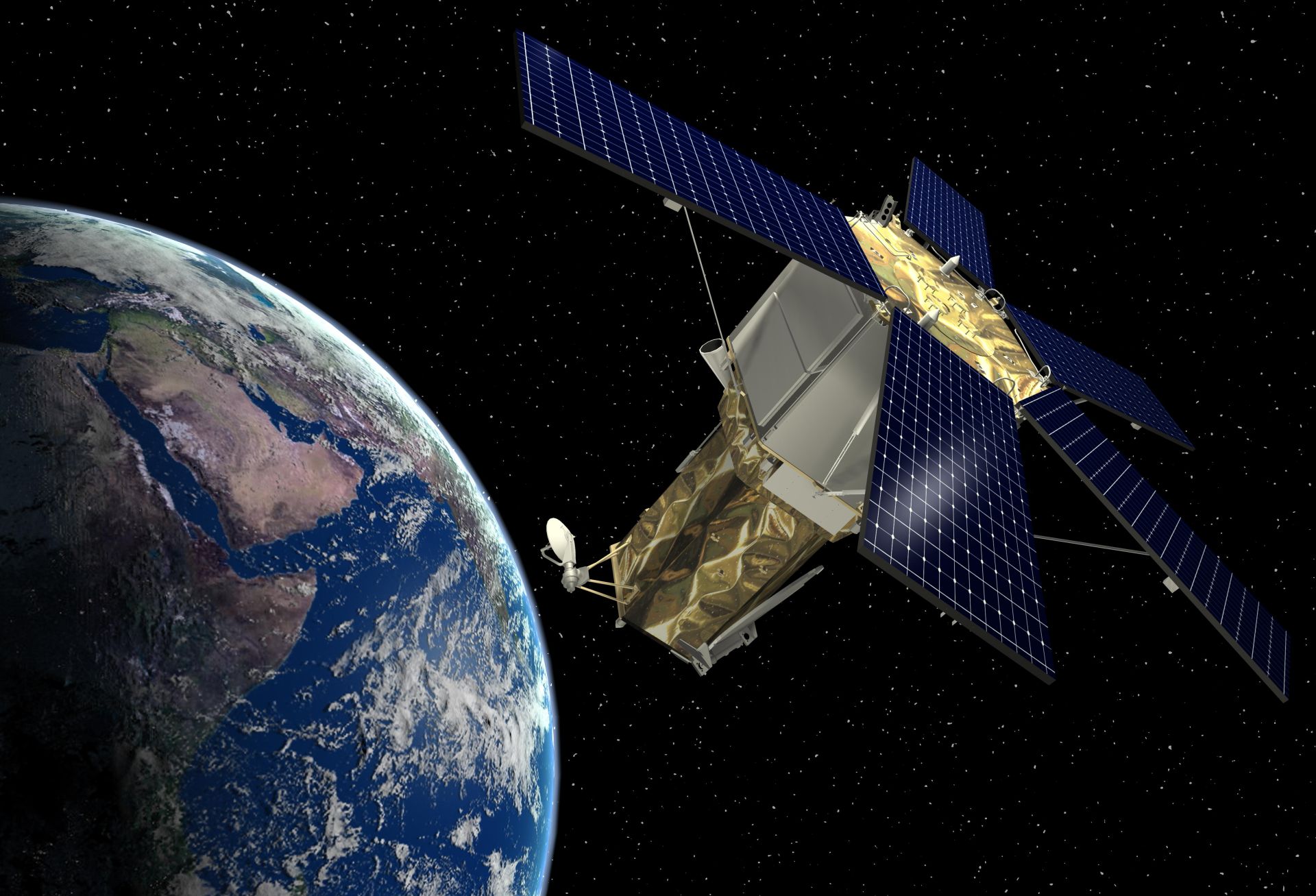
With demand for Earth imagery increasing, manufacturers are expected to produce more than 200 remote sensing satellites over the next 10 years, according to Forecast International.

The company’s new study “The Market for Civil & Commercial Remote Sensing Satellites” reports that during the 2015-2024 forecast period, the value of production will be an estimated $27.2 billion (in FY15 U.S. dollars). The study covers some 58 remote sensing satellite programs with spacecraft weighing 100 kilograms (220 lb) or more. Sample products in this range include the Airbus Defence and Space MetOp-SG, Surrey Satellite Technology’s FORMOSAT-7, Thales’ MTG and Sentinel, Mitsubishi Electric’s GCOM, Lockheed Martin’s GOES, and Ball Aerospace & Technologies’ JPSS.

Satellite operators will purchase new satellites over the next 10 years to keep up with increasing demand for remote sensing imagery. These new satellites will replace and improve upon aging spacecraft currently in orbit.

William Ostrove, the study’s author, notes that a higher number of satellites will be delivered during the next five years compared to the previous five. The average annual launch rate of civil and commercial remote sensing satellites between 2010 and 2014 was 12. That figure will increase to 25 between 2015 and 2019. According to Ostrove, “This increase demonstrates the growing demand for remote sensing imagery.”

The larger number of satellites will enable more frequent revisit rates by satellites over spots around the globe. Another source of growth for the industry is the rise of small satellite operators, like Skybox Imaging.

Governments remain the most important part of the civil remote sensing satellite industry. Government agencies are both the largest users of imagery data as well as the largest buyers of satellites. Ostrove points out that governments “will utilize both commercially operated and government-owned satellites to meet their imaging needs.” Governments will use satellite imagery for scientific study, weather forecasting, and to monitor resource usage. One of the most important areas for government satellite usage is military operations.

Despite the importance of governments to the remote sensing market, commercial funding is becoming more significant. According to Ostrove, “Sales of Earth imagery data to the commercial market are growing.” This is evidenced by the increasing share that commercial sales represent in DigitalGlobe’s bottom line. Another company, Airbus’s Geo-Information Services division, purchased two SPOT satellites even though it had no government contracts for purchase of the data.

One recent development of note covered by the analysis is the recent U.S. Commerce Department approval of the sale of 30-centimeter-per-pixel resolution satellite imagery by DigitalGlobe. DigitalGlobe followed the decision with an announcement that it will start selling 30-centimeter imagery from its WorldView-3 satellite. According to Ostrove, the improved resolution will enable DigitalGlobe to better compete against other satellite operators as well as against aerial imagery providers.

Top manufacturers in the civil and commercial remote sensing satellite industry going forward include Airbus Defence and Space, Thales Alenia Space, Mitsubishi Electric, Lockheed Martin, and Ball Aerospace. These companies are forecast to garner a combined $14.3 billion in sales of their remote sensing satellites over the next 10 years, accounting for a market share of 52.7 percent.

Tags: marketremote sensingsatellite marketsatellitesspace
Previous Post

Germany warns of ‘dangerous’ consequences to arming Ukraine

Next Post

Pakistan successfully tested its first drone

Related Posts

US needs top cyber coordinator, better hacker ‘deterrence’

‘Digital fog of war’ around Iranian cyberattacks

March 13, 2026

Hostilities on the digital front have intensified since the outbreak of war between the US, Israel and Iran, with many...

US moves closer to retaliation over hacking as cyber woes grow

Cyberattack Disrupts Operations at MedTech Giant Stryker

March 11, 2026

A cybersecurity incident affecting Stryker Corporation—one of the world’s largest manufacturers of medical devices—has drawn renewed attention to the growing...

Next Post
Pakistan successfully tested its first drone

Pakistan successfully tested its first drone

Latest Defense News

US needs top cyber coordinator, better hacker ‘deterrence’

‘Digital fog of war’ around Iranian cyberattacks

March 13, 2026
US military says aircraft crash in Iraq killed 4 crew members

US military says aircraft crash in Iraq killed 4 crew members

March 13, 2026
Northrop Grumman moves to boost B-21 Raider output

Northrop Grumman moves to boost B-21 Raider output

March 13, 2026
US Navy evacuates virus-struck aircraft carrier Roosevelt

US military ‘not ready’ to escort tankers through Hormuz Strait

March 12, 2026
Israel cancels leave for combat units after Iran consulate strike

US says Iran campaign cost $11 billion in six days

March 12, 2026
US moves closer to retaliation over hacking as cyber woes grow

Cyberattack Disrupts Operations at MedTech Giant Stryker

March 11, 2026

Defense Forum Discussions

  • ADF General discussion thread
  • Indonesian Aero News
  • Middle East Defence & Security
  • NZDF General discussion thread
  • Royal Australian Navy Discussions and Updates 2.0
  • New Zealand Army
  • F-35 Program - General Discussion
  • Royal New Zealand Navy Discussions and Updates
  • The Russian-Ukrainian War Thread
  • Indonesia: 'green water navy'
DefenceTalk

© 2003-2020 DefenceTalk.com

Navigate Site

  • Defence Forum
  • Military Photos
  • RSS Feeds
  • About us
  • Advertise with us
  • Contact us

Follow Us

No Result
View All Result
  • Home
  • Defense News
    • Defense & Geopolitics News
    • War Conflicts News
    • Army News
    • Air Force News
    • Navy News
    • Missiles Systems News
    • Nuclear Weapons
    • Defense Technology
    • Cybersecurity News
  • Military Photos
  • Defense Forum
  • Military Videos
  • Military Weapon Systems
    • Weapon Systems
    • Reports

© 2003-2020 DefenceTalk.com