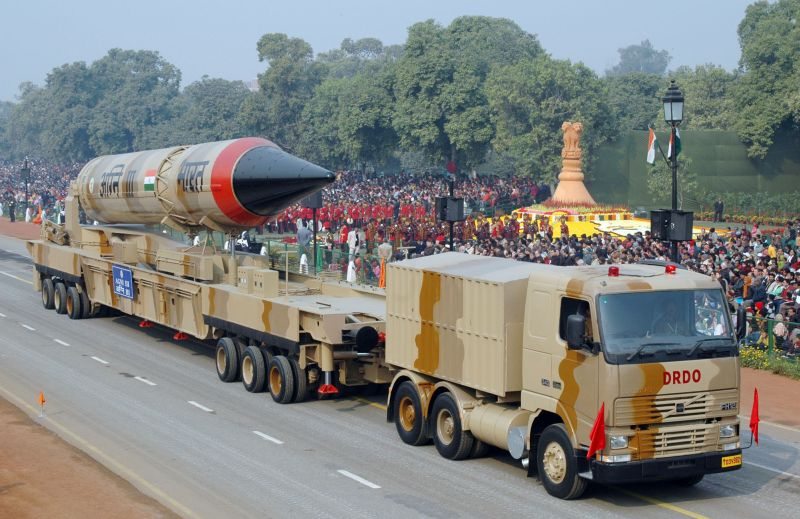
On 26 April 2012, India successfully launched its remote sensing Radar Imaging Satellite (RISAT-1). This success, when viewed along with the successful launch of the first long-range ballistic missile Agni 5 just six days back, speaks volumes about India’s technological growth in recent years.
India’s first indigenously made Radar Imaging Satellite (RISAT-1) was launched by the Polar Satellite Launch Vehicle (PSLV-C19). The success of this launch has also proved the reliability of the Indian Space Research Organisation’s (ISRO) PSLV launch vehicle; this was the 20th successful successive launch of this vehicle. The rocket launched the satellite to an altitude of 480 km and within a few days in-flight manoeuvres would take the satellite to its final orbital configuration at 536 km altitude. RISAT-1 weighs 1,850 kg and has a designed life of five years. This satellite is the result of a 10 year effort by ISRO.
The launch of RISAT-1 took place three years after the first radar satellite was launched by India called RISAT-2, a satellite of Israeli origin. India has made investments in radar satellites for dual purpose utility. Such systems have significance in disaster forecasting and disaster management as well as in agriculture forestry and estimating crop yields. India’s costal region continues to suffer from the menace of tropical cyclones and radar satellite imaginary could provide vital inputs in this regard. RISAT-1 has a resolution varying from 50 meters to three meters depending on the requirements. In a special ‘spotlight mode,’ it can even make available one-metre resolution images, thus making it relevant for the purposes of intelligence gathering.
India has an enviable track record in the field of remote sensing. The beginning of this programme was made with the launch of IRS-1A in 1988. Presently, India has 11 remote sensing satellites operational in space. Amongst them are four cartographic satellites, some of which can provide imagery of less than one meter resolution. The basic difference between India’s other remote sensing satellites and RISAT-1 is with respect to onboard sensors (cameras).
Till date, ISRO depended on optical imaging, but now for the first time it has developed SAR (Synthetic Aperture Radar) technology, which revolutionises the process of earth-viewing because it is ‘weather resistant’. RISAT-1 can take pictures of the earth even during bad weather. It can penetrate thick cloud cover, thunderstorms, rain and fog.
SAR technology has major strategic significance. It is relevant for the purposes of reconnaissance, surveillance, and targeting as well as for autonomous navigation and guidance. Till now, Indian satellite systems were capable of providing quality images only during good weather because they employed only optical or infra-red techniques. SAR ‘liberates’ India from such limitations. RISAT-1 is capable of penetrating the cover provided by plants, trees, bushes and soil. Ground-based moving targets such as cars, trucks, and military vehicles including aircraft and ships become easier to locate because of SAR technology.
RISAT-1 could be viewed as a strategic ‘force multiplier’. Here, it is important to appreciate that the nature of warfare has changed over the years and security agencies are expected to respond to emerging challenges swiftly. With the advent of asymmetric warfare, different and more heinous tools and tactics are incrementally being used by non-state actors. At the same time, conventional warfare is also becoming more complicated and more lethal. On the other hand, there has been a continuous debate with regard to the response of the armed forces to such threats against the backdrop of issues like human rights, collateral damage, damage to environment, etc.
To cater for changing perceptions about the process of conflict resolution and the outcome expected from various military campaigns, the security agencies have to readjust their approaches for resolving conflicts. For this purpose they require a continuous flow of various inputs like weather conductions, terrain features (including in urban settings), exact location of targets, whether such targets are surrounded by civilian population or not and if so the concentration of civilian population, etc. SAR could help them differentiate between terrain features and actual targets. Most importantly, such differentiation can be made during day or night or during bad weather conductions.
However, it needs to be emphasised here that SAR is not a panacea for every problem and the inputs provided by the radar satellite needs to be corroborated with information gathered through other sources to make a final assessment.
Presently, India is using the data from Canada’s RADARSAT satellites for assistance in near real time flood mapping and for agriculture purposes, a dependence which is likely to reduce now. Also, radar techniques have utility in carrying out glacier studies, which could particularly assist in understanding issues related to climate change. The information provided by RISAT-1 could be found useful for various other purposes like oceanography, managing shipping operations and understanding flora and fauna.
The need of the hour is to make efficient and timely distribution of the data received from this satellite to the concerned agencies. ISRO has done its job and now the onus lies on other agencies to make appropriate and timely use of the inputs that will be provided by RISAT-1.


