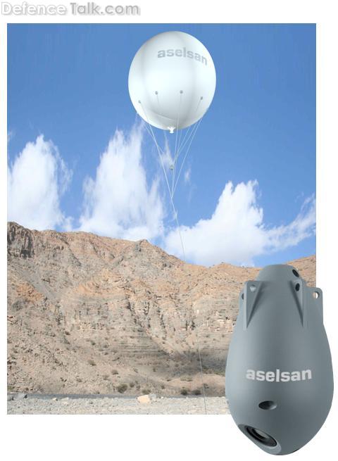
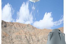
General Specifications
Kaşif mosaics frames of terrain captured from high altitude and constructs a panoramic image for whole picture of area under investigation. The system segments, recognizes, identifies and tracks the targets on this panoramic image which are either determined automatically or by the operator manually.