Menu
Home
Defence News
Military Photos
New media
New comments
Defence Forums
New posts
What's new
New posts
New media
New media comments
Latest activity
Log in
Register
What's new
New media
New comments
Menu
Log in
Register
Home
Military Photos
World at War & Conflicts
World Wars
World War I
Maps
JavaScript is disabled. For a better experience, please enable JavaScript in your browser before proceeding.
T
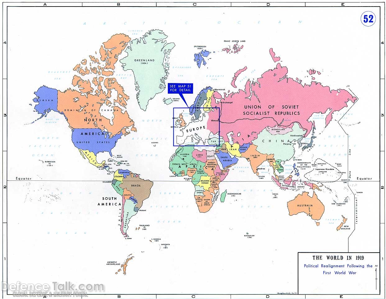
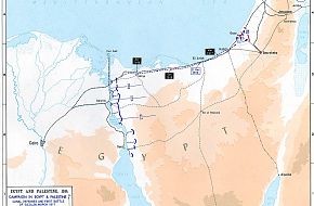
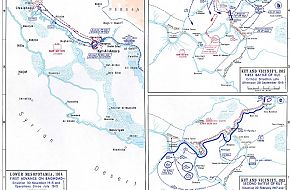
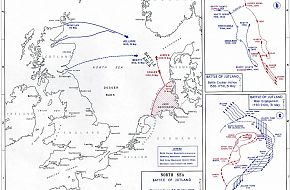
Maps - World War One
The Watcher
Sep 8, 2007
Maps used during the great war, world war I
Click to expand...
There are no comments to display.
Media information
Category
Maps
Added by
The Watcher
Date added
Sep 8, 2007
View count
2,942
Comment count
2
Rating
0.00 star(s)
0 ratings
Share this media
Facebook
Twitter
Reddit
Pinterest
Tumblr
WhatsApp
Email
Link
Copy image link
Copy image BB code
Copy URL BB code with thumbnail
Copy GALLERY BB code
Home
Military Photos
World at War & Conflicts
World Wars
World War I
Maps
This site uses cookies to help personalise content, tailor your experience and to keep you logged in if you register.
By continuing to use this site, you are consenting to our use of cookies.
Accept
Learn more…
Top